

.png)
Rongai Route - Northern Approach
6-Day Kilimanjaro Rongai Route
Introduction
The Rongai Route is the only route that approaches Kilimanjaro from the north, starting near the Kenyan border. It offers a true wilderness experience with far fewer climbers than the southern routes. This 6-day itinerary takes you through rainforest, moorland, alpine desert, and across the vast lunar saddle to the summit of Africa — Uhuru Peak at 5,895m. Perfect for those seeking a quieter, more remote climb with stunning panoramic views.
Why Choose the Rongai Route?
Only Northern Approach
The only route starting from the Kenyan border, offering a true wilderness experience away from the crowded southern trails.
Less Crowded
Far fewer climbers than the southern routes, giving you peace, pristine nature, and a more intimate mountain experience.
Stunning Wilderness
Trek through remote forests, moorlands, and across the lunar landscape of the saddle between Kibo and Mawenzi.
High Success Rate
The gradual ascent profile provides excellent acclimatization for summit success on Africa's highest peak.
Summit via Uhuru Peak
Stand atop Africa's highest point at 5,895m — a life-changing achievement and the ultimate bucket-list experience.
Professional Guides
Certified mountain crew with years of experience, ensuring your safety, comfort, and the best possible summit success rate.
Tour Highlights
- Summit Africa's highest peak (5,895m) - Uhuru Peak
- Remote northern approach from the Kenyan border
- Traverse through 5 distinct climate zones
- Panoramic views of the imposing Mawenzi peak
- Sunset over the African savannah from the saddle
- Cross the vast lunar saddle between Kibo and Mawenzi
- Summit night trekking under a canopy of stars
- Certificate of achievement signed by park authorities
Detailed Itinerary
Each day is carefully structured to maximise acclimatization while allowing you to absorb the breathtaking beauty of Kilimanjaro's northern slopes. Below is your day-by-day itinerary.
Arrive Moshi/Arusha — Drive to Rongai Gate — Hike to Simba Camp
Meet your guide and crew in Moshi or Arusha. After a briefing and equipment check, drive approximately 2.5 hours to the Rongai Gate (1,950m) near the Kenyan border. After park formalities, begin your trek through lush montane forest on a gentle trail to Simba Camp (2,600m). The forest is home to colobus monkeys and a variety of birdlife.
Simba Camp — Second Cave
Trek through montane forest and open moorland to Second Cave (3,500m). The trail opens up with stunning views of the Kenyan plains to the north. This is an excellent acclimatization day with a steady but gentle ascent.
Second Cave — Kikelwa Camp
A gentle ascent through high moorland to Kikelwa Camp (3,650m) with sweeping views of the Kenyan plains. The terrain becomes increasingly alpine with hardy vegetation adapted to the harsh conditions.
Kikelwa Camp — Mawenzi Tarn Camp
Traverse heath and alpine desert as you make your way to Mawenzi Tarn Camp (4,330m), set beneath the jagged peaks of Mawenzi. The landscape becomes stark, rocky, and lunar — a dramatic contrast to the forest below.
Mawenzi Tarn Camp — Kibo Hut
Cross the vast saddle between Kibo and Mawenzi — a stark, lunar landscape that feels like another planet. Kibo Hut (4,700m) sits at the base of the final summit cone. Rest and prepare for summit night.
SUMMIT DAY: Kibo Hut — Uhuru Peak — Descend to Marangu Gate — Arusha/Moshi
The ultimate day! Summit under the stars, reaching Uhuru Peak at sunrise. After celebrating at the roof of Africa, descend back to Kibo Hut, continue down the Marangu Route to the park gate, and transfer to your hotel in Arusha or Moshi for a well-earned celebration.
Included / Excluded
| Included |
|
|---|---|
| Excluded |
|
| Rentals |
|
Destinations
Kilimanjaro National Park
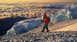
UNESCO World Heritage Site encompassing Africa's highest mountain. Five distinct climate zones from tropical rainforest to arctic summit. Home to diverse wildlife including colobus monkeys, bushbuck, and over 180 bird species.
Rongai Route
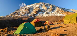
The only northern approach route starting near the Kenyan border. Known for its remote wilderness, fewer crowds, and unique perspective of Kilimanjaro's northern slopes. The gentle gradient provides excellent acclimatization.
Marangu Route (Descent)
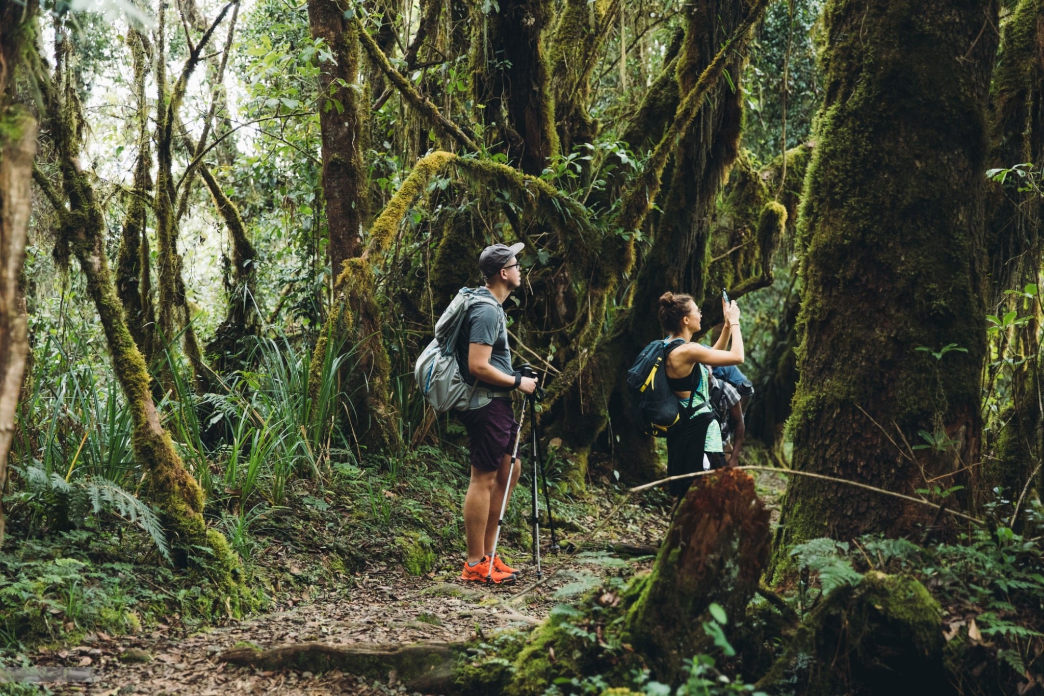
Known as the "Coca-Cola" route, the Marangu Route is the only route with hut accommodation. We use it for descent on the final day — a beautiful trek through the rainforest to the park gate.
Gallery
Rongai Route Approach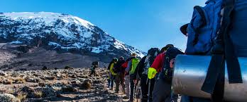 Mountain CampMawenzi Peak Views
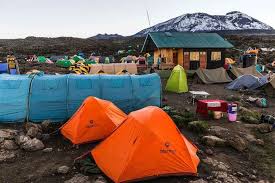 Alpine Desert Trek
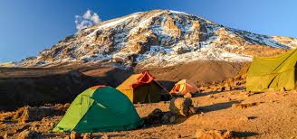 Summit Sunrise
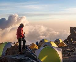 Uhuru Peak 5,895m
Location
What Our Travelers Say
Join thousands of satisfied climbers who have summited Kilimanjaro with us.
Frequently Asked Questions
How difficult is the Rongai Route?
The Rongai Route is considered moderately demanding. It features a gradual ascent profile which aids acclimatization. Summit night is the most challenging part — 6-7 hours of steep climbing in darkness and cold temperatures. A good level of fitness is recommended.
What is the best time to climb Kilimanjaro via Rongai?
The best times are January-March and June-October. These dry season months offer clearer skies and better summit conditions. April, May, and November are rainy seasons with wetter trails and lower summit success rates.
What fitness level is required?
A good level of fitness is required. You should be comfortable walking 5-8 hours per day on steep, uneven terrain. Prior hiking experience is beneficial but not mandatory. Cardiovascular training such as running, cycling, or stair climbing is highly recommended in the months before your climb.
How does altitude sickness affect climbers?
Altitude sickness affects most climbers to some degree. Symptoms include headache, nausea, and fatigue. Our professional guides monitor all climbers closely. We follow a strict 'pole pole' (slowly slowly) pace and the itinerary is designed for optimal acclimatization. Severe altitude sickness is rare but we carry emergency oxygen and have evacuation protocols in place.
What should I pack for the Rongai Route?
Pack warm layers, a waterproof jacket and trousers, thermal base layers, sturdy hiking boots, trekking poles, a sleeping bag rated to -10C, headlamp with spare batteries, gloves, a warm hat, sunscreen, water bottles (at least 3L capacity), and personal medication. A detailed packing list will be provided upon booking.
What is the minimum age for this climb?
The minimum age is 12 years old. However, we strongly recommend that climbers under 16 have prior hiking experience and are accompanied by a guardian. Children under 12 are not permitted by park regulations.
What are group sizes like?
Our groups range from 2 to 12 climbers. Smaller groups provide a more personalized experience with dedicated attention from guides. Private climbs are available for those who prefer solitude or have specific requirements.
What accommodation is provided on the mountain?
Accommodation on the Rongai Route is in high-quality 4-season mountain tents set up by the crew each day. Sleeping mats are provided. On the night before summit (Kibo Hut), you stay in a basic stone hut. All camping equipment is included in the tour price.
Can I rent equipment for the climb?
Yes, we offer rental equipment including sleeping bags rated to -10C, trekking poles, gaiters, headlamps, waterproof jackets and trousers, and insulated gloves. Please enquire about our complete rental package at the time of booking for a full inventory and pricing.
Who are the guides and porters?
Our guides are certified, experienced mountain professionals with Wilderness First Responder training and many years of experience on Kilimanjaro. Porters carry equipment and supplies. All crew are properly employed, insured, and treated fairly with proper mountain gear. We are a KPAP (Kilimanjaro Porters Assistance Project) partner.
What park fees are included?
All Kilimanjaro National Park entry fees, camping fees, and rescue fees are included in the tour price. There are no hidden charges. Park fees are set by KINAPA (Kilimanjaro National Park Authority) and are non-refundable once the climb has commenced.
Do I receive a certificate after summiting?
Yes, upon successful summit of Uhuru Peak (5,895m), you will receive a gold certificate signed by Kilimanjaro National Park authorities. Climbers who reach Gilman's Point (5,681m) on the crater rim receive a green certificate. This is a treasured memento of your achievement.
How many acclimatization days does this itinerary have?
This 6-day itinerary includes strategic acclimatization built into the route profile. The principle of 'climb high, sleep low' is applied throughout. The gradual nature of the Rongai Route, combined with carefully planned camp altitudes, maximizes your chances of a successful summit.
What are the weather conditions on the mountain?
Weather varies dramatically by elevation — from tropical rainforest (25C) at the base to arctic conditions (-15C to -25C) at the summit. Rain, snow, and wind can occur at any time of year. Be prepared for all conditions. The Rongai Route's northern side is generally drier than the southern routes.
Ready to Summit Kilimanjaro?
Book your 6-day Rongai Route climb and conquer Africa's highest peak with expert guides and proven success rates.